Day 1 · 06:12
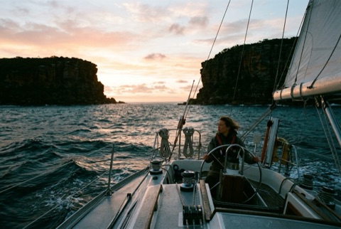
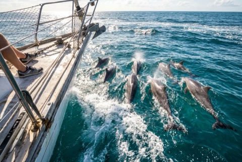
Cleared the heads at first light. A pod of dolphins off Long Reef.
Coastal hops to ocean crossings
Your route, stops, timings for your boat and the best weather window to leave, worked out from wind and waves.
Got an invite? Open itJust checking the wind? Forecast map
Example · best departure
Thu 05:00
SE 14–18 kn on the beam · 2.1 m swell
3 of 9 windows within your limits
01 · Plan
Tell us how far off the coast you like to be, how long a good day is, and whether you sail at night. We'll find the stops and time every leg for your boat.
Example itinerary
02 · Weather
We run your route through the wind and wave forecast, rank every departure against your limits, and route offshore legs around the weather.
Only want the forecast? The wind and wave map is open to everyone, no account needed.
Example · Sydney → Lord Howe
Best · leave
Thu 05:00
2d 19h · weather-routed
Wind max 18 kn · Waves 2.1 m
Option 2
Thu 17:00
2d 23h · 6h motoring
Wind max 16 kn · Waves 1.8 m
Outside your limits
Fri 14:00
2d 15h · fastest
Wind max 27 kn · Waves 3.4 m
03 · No boat?
Join a skipper for a day sail, a passage or an ocean crossing. Take the whole trip or just the leg that fits. Your mates can also invite you straight in.
Example · an invitation from a mate
Pittwater, around Lion Island
Saturday · 09:00–16:00 · 3 crew going
AcceptNot this time
Example · an open trip · ask to join
Sydney → Port Stephens
Whole tripLeg 1 onlyLeg 2 only
03 · Got a boat?
Turn any route into a trip. Keep it private for your own people, or post it publicly to find sailors keen to join. Capacity, legs, co-organisers and weather calls are all in one place.
Example trip
Sydney → Port Stephens
PrivatePublicWeather-dependent: if the forecast tops 25 kn, you're warned and can move the trip. The crew is told.
04 · Logbook
Record your GPS track from the app, or import one. Add journal entries and photos as you go, then share the voyage, or keep it private.
Example voyage
Day 1 · 06:12
Cleared the heads at first light. A pod of dolphins off Long Reef.
Day 1 · 22:40 · night watch
7.2 kn under a reefed main. Stars all the way to the horizon.
Day 3 · 09:05
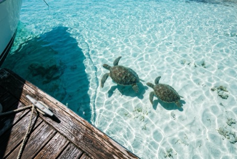
Anchored off Ned's Beach. Turtles under the boat.
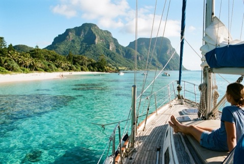
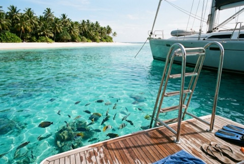
From a six-mile day sail to a twelve-hundred-mile crossing.
Plan it · crew it · sail it · log it